Peri-Urban Futures: The Crisis in Planning
Michael Buxton & Andrew Butt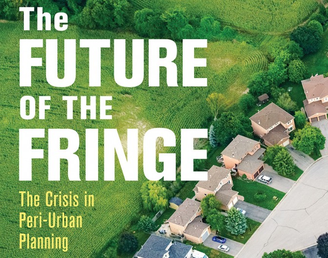
The natural resources of peri-urban land – or rural landscapes adjoining cities - matter.
Cities that protect their peri-urban areas are most likely to survive inevitable future crises. Climate change, political upheaval and increasing global demand for food will increase the risks from fuel supply interruptions, crop failures, unstable weather, economic instability, health crises and conflict. The cities and regions which retain local food sources and dependable supply chains will increase their adaptability to change and reduce the risk from sudden system shocks.
Our new book, The Future of the Fringe, the Crisis in Peri-urban Planning (CSIRO Press) outlines the pressures on Australian peri-urban areas in the context of an international literature and practice on peri-urban area protection and development.
Peri-urban regions in Australia are highly productive agricultural areas producing at least 25 per cent of the value of agricultural production. Yet urban sprawl and rural subdivision continue to put production and productive systems at risk. Australian cities depend on peri-urban areas for intensive agricultural products, livestock production and food processing facilities. These areas enjoy the advantages of proximity to urban markets, efficient transport systems and access to labour allowing reliable food delivery to cities. Their productive soils, benign climates and access to recycled urban water are major advantages.
Peri-urban areas also illustrate the need to consider multiple detrimental and intersecting impacts. Millions of people enjoy high value landscapes and national parks adjoining cities. These areas hold 50 per cent of Australia’s biodiversity and most urban water sources. But land use decisions are jeopardising critical natural resources. Tens of thousands of lots without dwellings already exist around many cities. Subdivision will add many further lots. New dwellings on these lots eliminate farming, reduce run off to streams from small dam construction, alter landscapes and reduce biodiversity. Many of these lots are located in some of the world’s most bushfire prone areas. Climate change is increasing the risks from closer settlement.
Yet regulatory land use tools often are poorly matched to land characteristics. Planning systems often encourage further subdivision and development by allowing excisions, dwelling construction and tourist and commercial land uses. Successive enquiries into bushfires have recommended the reintroduction of policy and regulatory techniques that once limited the fragmentation of land holdings and controlled development. Powerful development interests continue to oppose such regulation reinforced often within government by agriculture, tourism, planning and natural resource agencies.
Government peri-urban policy
Australian governments have taken a contradictory approach towards the rural landscapes surrounding our cities. For 50 years, most governments have advocated the need to preserve them from development while relentlessly pursued their urbanisation and development. Internationally, planning in many cities has applied consistent long-term policies to protect peri-urban areas sometimes lasting 80 years or more. But every Australian metropolitan city and many regional centres have sprawled into rural land, constantly extending urban footprints.
Such expansion expresses the failure of Australian governments to apply a consistent set of principles to peri-urban landscapes. Ultimately most governments have regarded these landscapes as land-in-waiting development. For example, in the three decades after 1945, suburban development gradually overwhelmed almost all of Melbourne’s intensive agricultural areas. In the 1970s, the Victorian Liberal government under Premier Hamer defined an urban boundary and protected agricultural production, natural resources and landscapes. In 2002, a Labor government briefly reasserted the Hamer tradition of strong protectionist policy after it had been abandoned during the 1990s. But from 2010, the cycle of development returned when the Brumby Labor Government designated 43,000 hectares of green belt for suburban development.
Cross sectoral land management of peri-urban land is urgently needed in place of the current fragmented sectoral control. Land use, environment, natural resource and agriculture agencies might seem to have a common interest in protecting peri-urban agriculture. But many Australian agriculture agencies have written off peri-urban agriculture as a ‘consumption’ in contrast to a ‘production’ landscape. Development expectations raise land prices and reduce comparative rates of return from agriculture, affecting the viability of production in a ‘death spiral’ for peri-urban agriculture. Planning agencies in turn ignore the role of regulatory land use planning as a powerful independent tool for controlling land price and protecting natural resources.
Much debate internationally continues over whether green belts and broader peri-urban areas should be managed for multi-functional uses including urban related uses particularly commercial, recreation and housing uses. Peri-urban areas already perform a range of complementary rural functions in many areas such as South East Queensland, Sydney’s south west fringes and around Melbourne. Remaining large holdings and agricultural activities protect future options and are particularly important for allowing agriculture to coexist with remnant native vegetation and historic landscapes. Extending this notion of multi-functional rural landscapes to include urban related activities risks converting peri-urban areas to hybrid or even urban areas further squeezing out agriculture and its potential.
Peri-urban areas have never been more important for the future of cities. Their fate will help determine the future of urban existence this century.